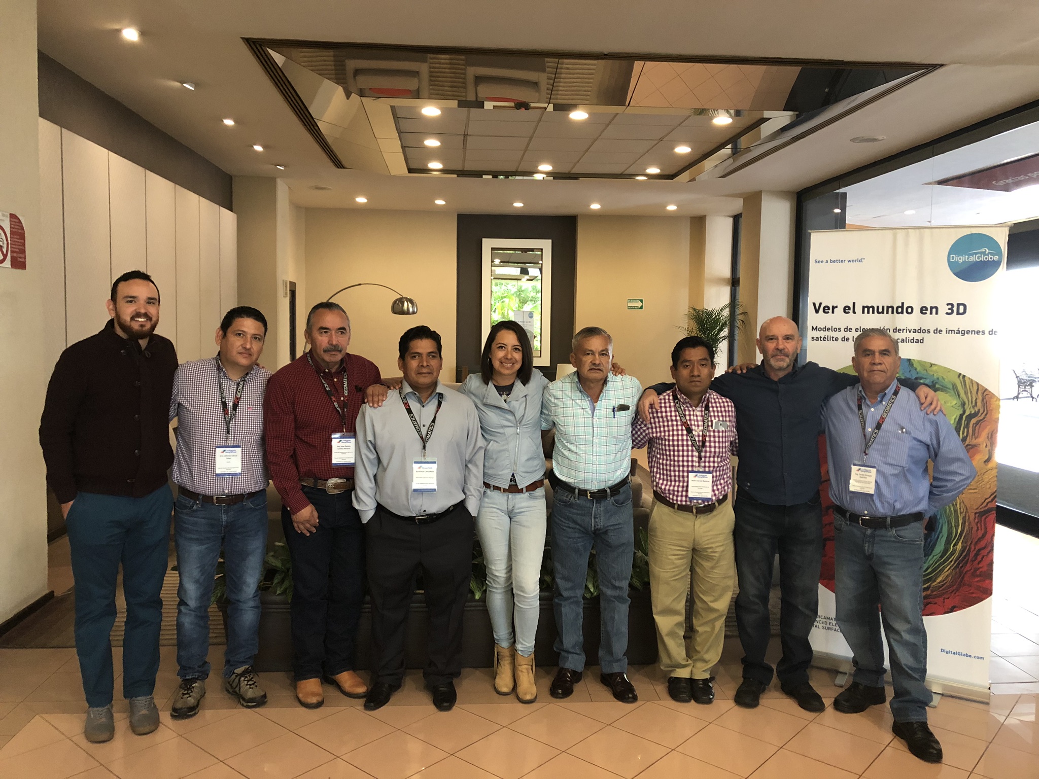
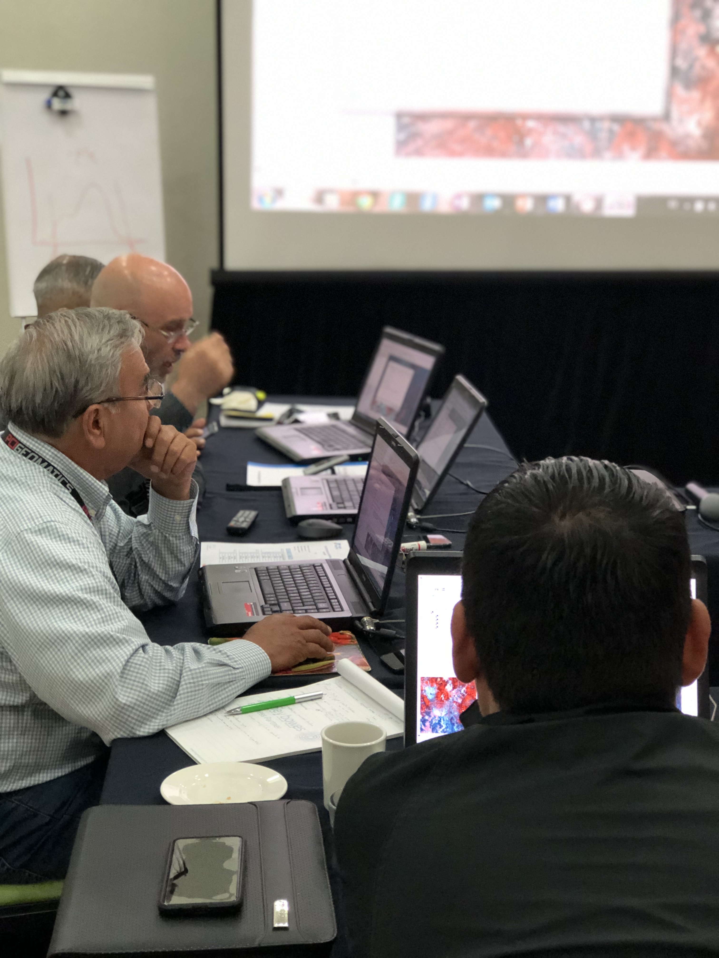
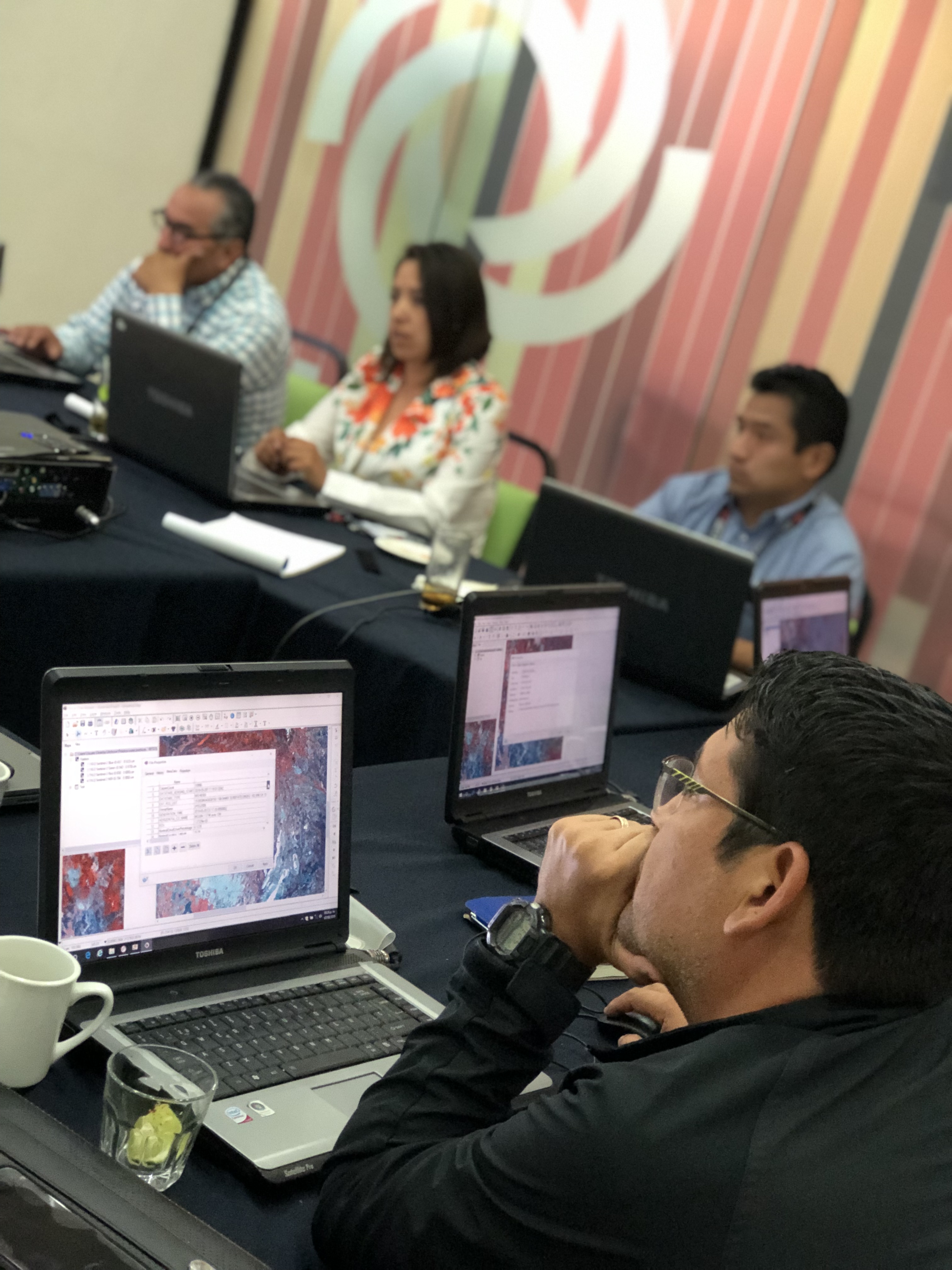
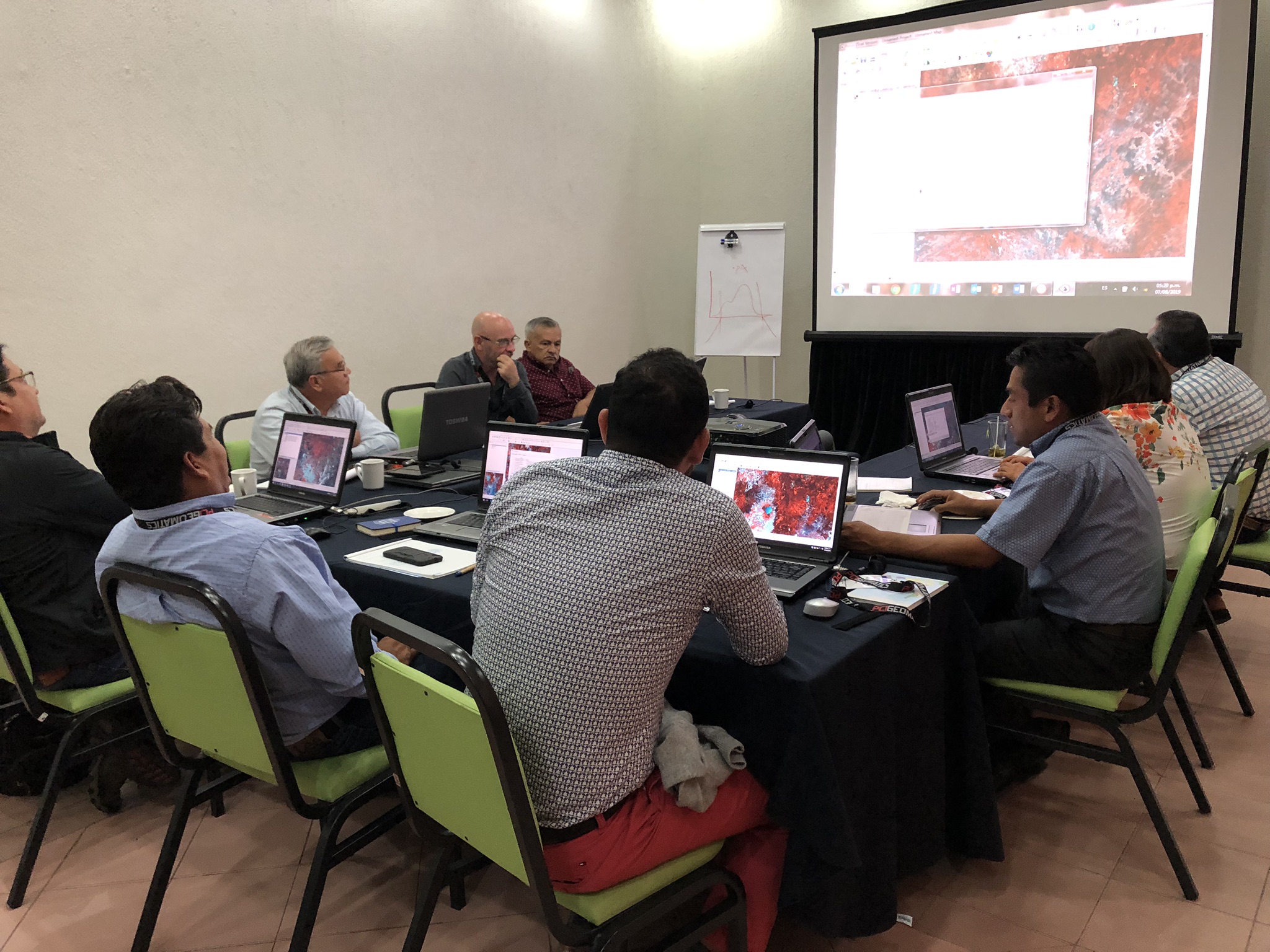
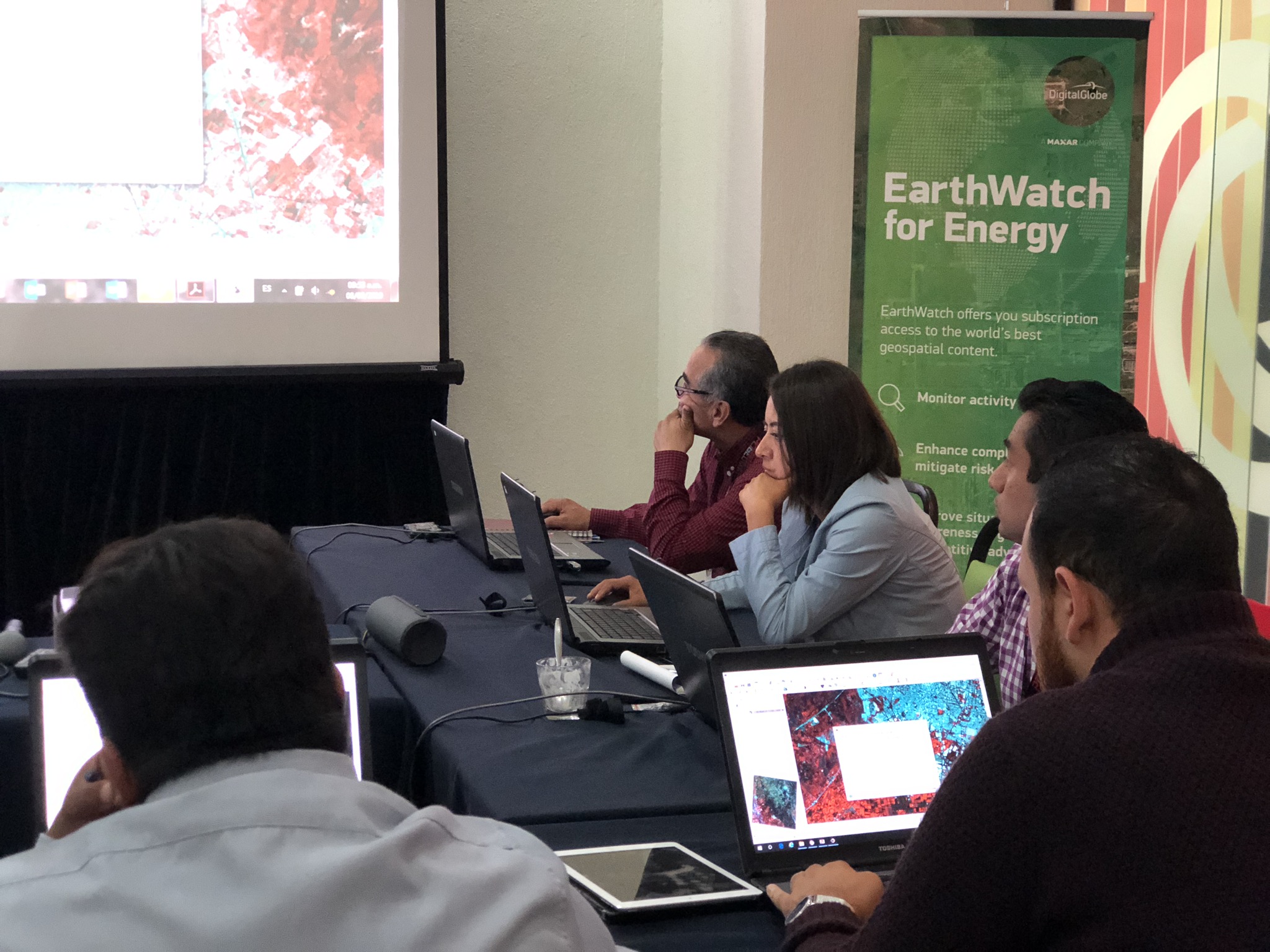
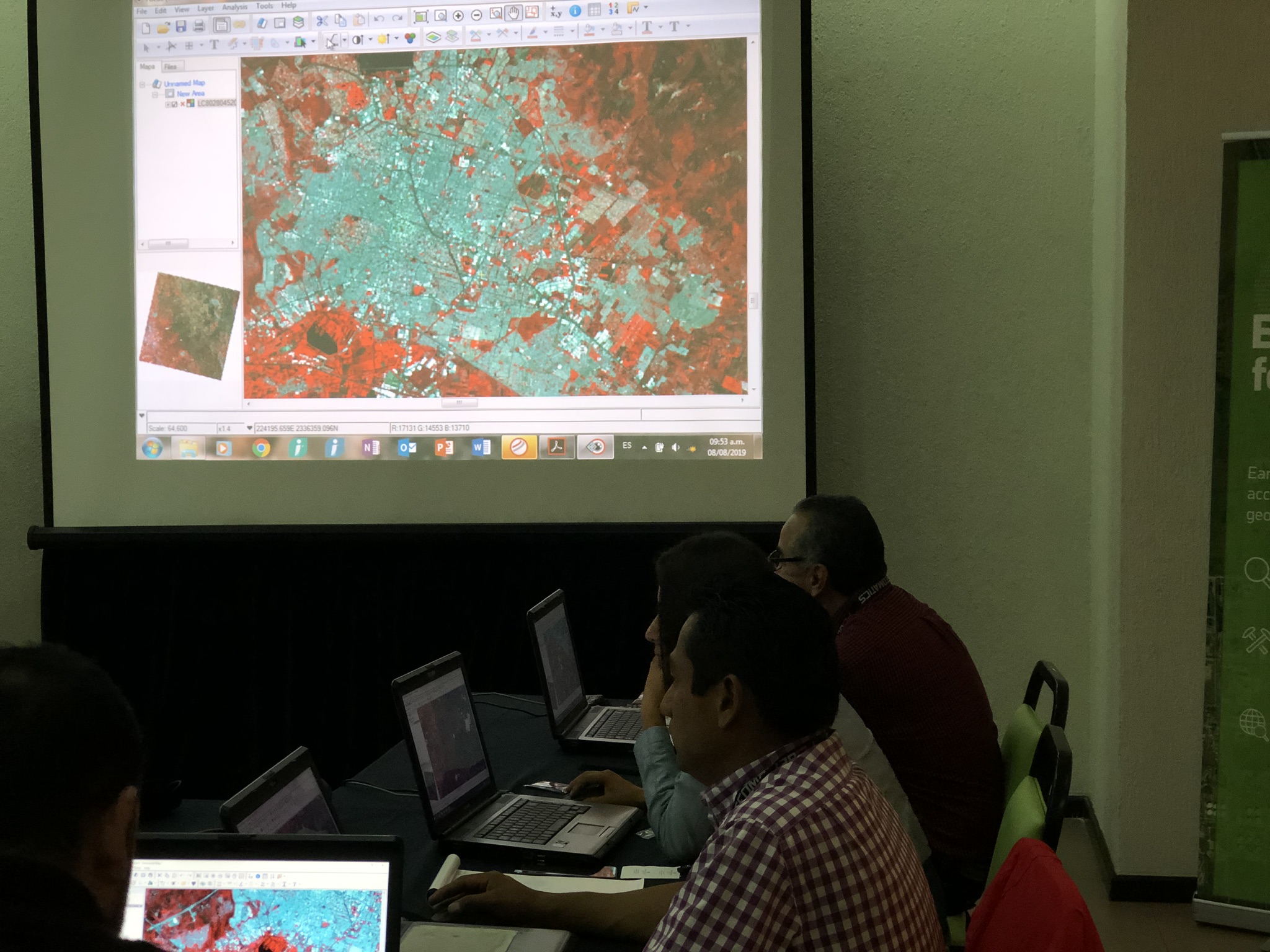
The workshop was organized by ImagenGeo, open to the public and in person. It was held at the Guadalajara Plaza Expo hotel from August 7 to 9, 2019. We used CATALYST Professional (formerly Geomatica) from PCI Geomatics.
The course was basic - intermediate level and the objectives of the course were:
- Identify the fundamental elements for the analysis of setallite imagery as a tool for solving problems in the field of Agriculture.
- Know the possibilities and limitations of these technologies for the solution of remote sensing problems.
- Execute the different multispectral data processing and analysis methods used in the extraction and analysis of information for agricultural applications.
- Know at a Basic - Intermediate level an advanced Image Processing software with raster GIS tools such as CATALYST Professional (formerly Geomatica), with wide applications in Agriculture.
- Learn the current applications of Remote Sensing in the field of agriculture and the methodology of these applications at a general level.