
Remote Sensing
Remote Sensing
We work along CATALYST from PCI Geomatics, creator of CATALYST Professional, the leading Remote Sensing software, which is simply the best in atmospheric correction, orthorectification, mosaicking, and MDE extraction. Its portfolio allows our clients to make data analysis an easy and profitable practice.
Satellite Imagery Processing and Analysis
ImagenGeo offers satellite image processing services and derived studies and analysis, through a highly experienced team of professionals, that have participated in national and international projects for over 30 years.
PROCESSING SERVICES
- Planimetric restitution
- Orthorectification
- Mosaic
- Radiometric balance
- Fusion
- Digital Elevation Models (DEMs)
- Contour Lines
Services in Analysis and Interpretation
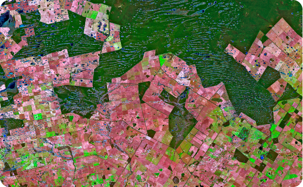
Agricultural
Applications
Applications
Crop Classification, Crop Health, Rational Water Monitoring, Crop Prediction, Drainage Maps, Effective Weed Control, and more.
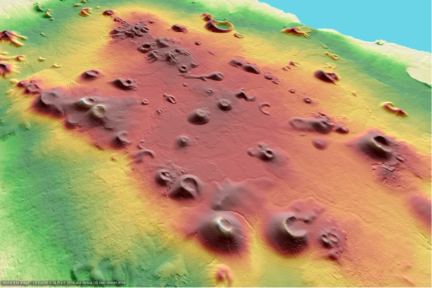
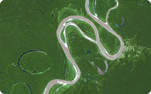
Applications in Hydrology and Geology
Definition of basin areas, simulation of floodable areas, the definition of oil and mineral exploration areas, geological cartography, maps of land use and cover in jungle areas, and oil spills.
Environment and Forest Resources
Maps of Current Use and Land Cover, Vegetation Monitoring, Desertification and Deforestation, Water Pollution.
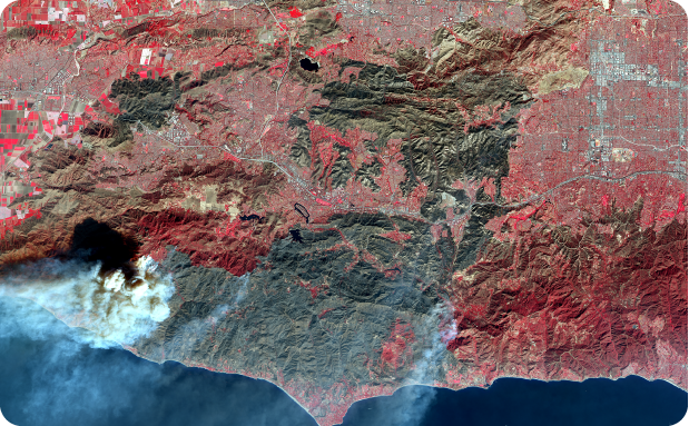
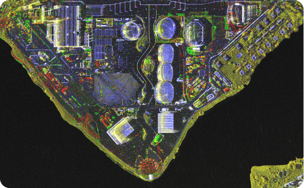
Natural and Man-made Disasters
Ground Displacement Monitoring, Studies of Prevention, Monitoring, and Quantification of Damage, Fires, Floods.
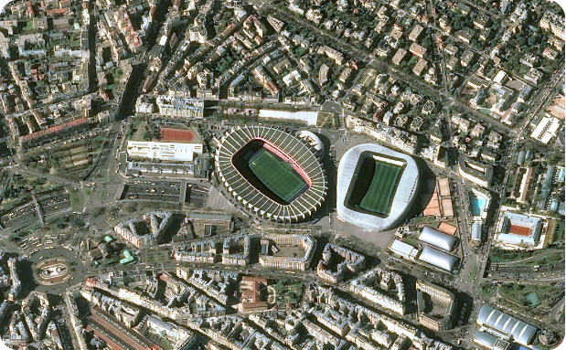
Infrastructure, Electric Power, and Telecommunications
Cartographic Update, Land Use, and Cover Maps, Rural Cadastre, Planning, Selection and Monitoring of Sites, Urban Planning, Vegetation and Rights of Way.