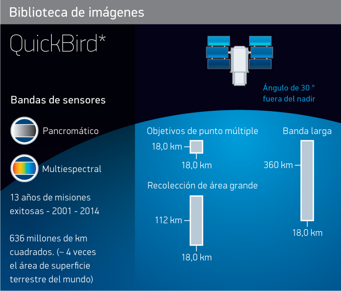
Satellite
Imagery
Imagery


Satellite
Imagery
Imagery
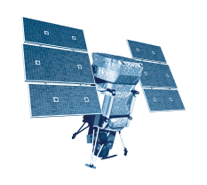
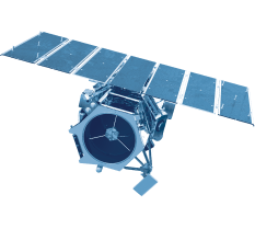
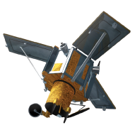
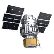
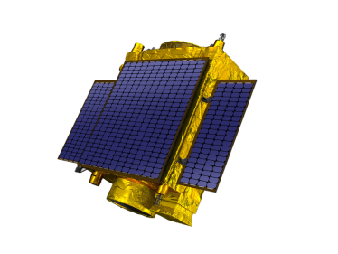
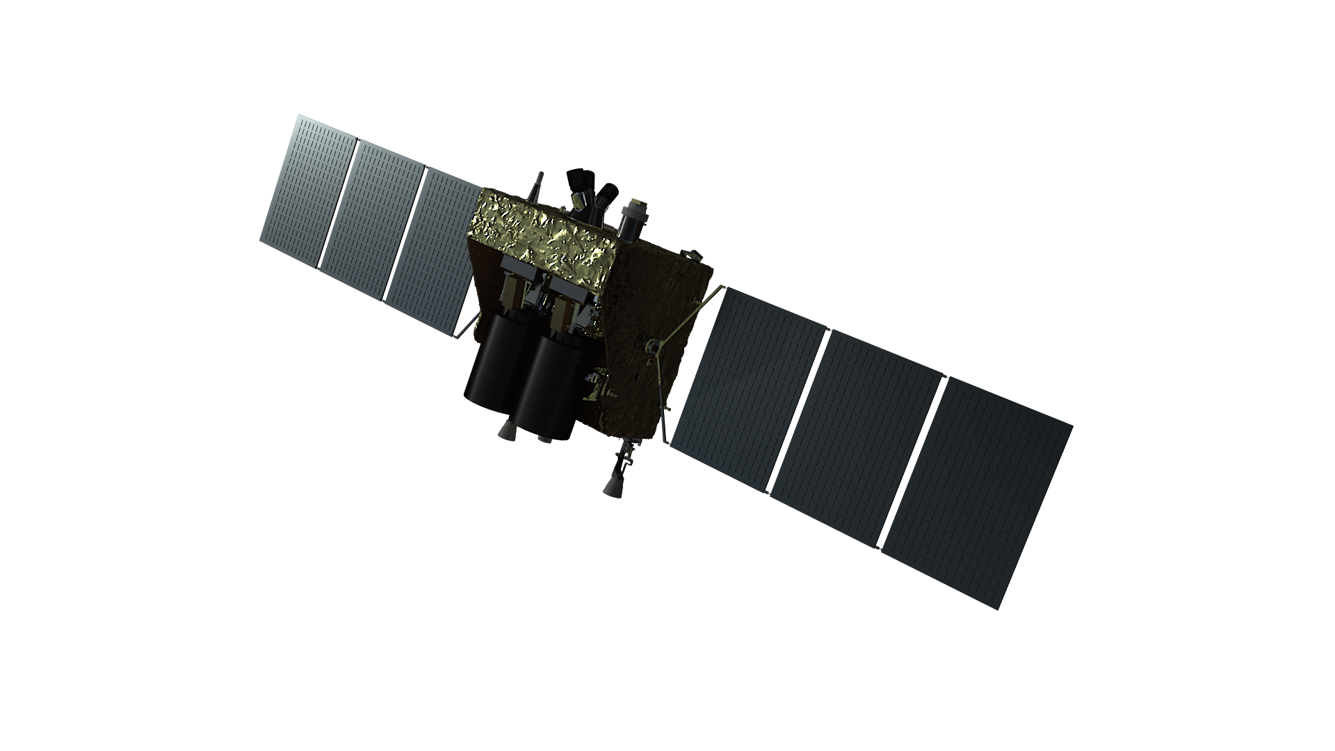
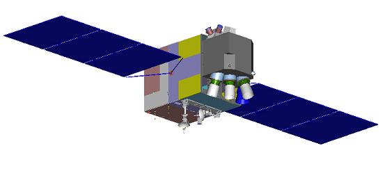
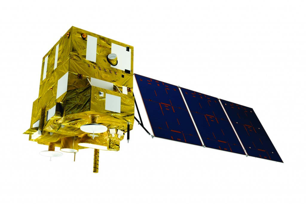
Satellites orbit the Earth at different heights. They are suitable for fire detection, biomass determination, and ozone layer study, to name a few applications.
The satellites that observe the Earth obtain diverse information on natural resources, oceans, urban growth, agriculture, livestock, fishing, forests, natural disasters, and national security, among others.
ImagenGeo is an authorized distributor of the most agile and sophisticated commercial optical and radar imaging satellite constellations that offer very high, high, medium, and low-resolution. Operating daily, they collect billions of km² of images per year.

| Optical Imagery | Optical sensors are passive: they rely on sunlight to acquire information or images of the Earth. They also depend on weather conditions like clouds, mist, or smoke. |
See more 

Close

Maxar is a leading space technology and intelligence company. Maxar partners with innovative companies and more than 50 governments to monitor global change, deliver broadband communications, and advance space operations with capabilities in space infrastructure and ground intelligence. You've probably seen or used Maxar's abilities, even without knowing where they came from.

New collections and archive


Archive only


Soon available
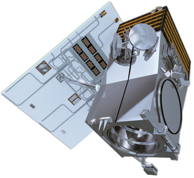
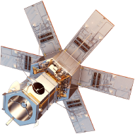
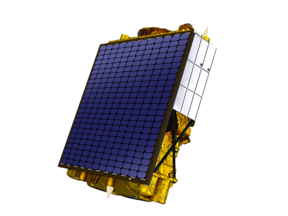
WorldView Legion
WorldView Legion will enable unprecedented visibility into our changing planet, to solve the biggest challenges facing our world today.
WorldView Legion will leverage innovative technology to yield the highest-quality commercially available satellite imagery.
sFrom defense and intelligence to living maps for navigation, WorldView Legion satellite imagery will support critical missions and business continuity for Maxar customers across the globe.

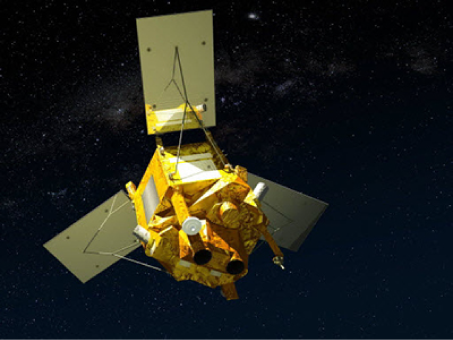
Airbus offers proprietary satellite imagery and geospatial analytics to decision-makers and analysts across multiple industries who require an accurate and remote view of our changing planet. Their images and data are as diverse as their customers' needs – whether you're looking for broad coverage, fine detail, intensive monitoring, premium reactivity, timely image acquisition, or extensive archives – they have the right solution and products.

New collections and archive


Archive only
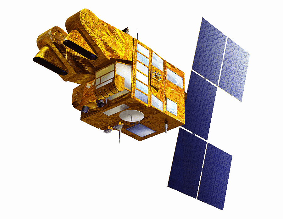
Spot 1
Launch 22/02/1986 – End of service 2003

Spot 2
Launch 22/01/1990 – End of service 2009

Spot 3
Launch 26/09/1993 – End of service 1996

Spot 4
Launch 23/03/1998 – End of service 05/2013

Spot 5
Launch 03/05/2002 – End of service 2015


Planet provides daily satellite data that helps businesses, governments, researchers, and journalists understand the physical world and take action.
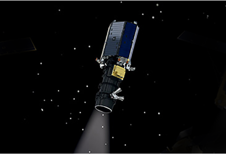
Planet’s data is transforming the way companies and governments use satellite imagery data, delivering insights at the daily pace of change on earth. This differentiated data set powers decision-making in a myriad of industries including agriculture, forestry, mapping, and government. Their fleet of over 200 earth imaging satellites, the largest in history, images the whole Earth’s land mass daily.
Planet’s data is transforming the way companies and governments use satellite imagery data, delivering insights at the daily pace of change on earth. This differentiated data set powers decision-making in a myriad of industries including agriculture, forestry, mapping, and government. Their fleet of over 200 earth imaging satellites, the largest in history, images the whole Earth’s land mass daily.

New collections and archive

Archive only

Head is a private space company with an extensive presence around the world. Over the past 13 years, HEAD has been providing space products in China by introducing space products and services from international aerospace companies to the country. This traditional activity has allowed the company to maintain a sustainable income to develop diversified activities since 2017, including providing geospatial solutions based on Earth observation satellites and operating its Internet of Things (IoT) constellation. With more than 40 sources of Earth observation satellites, HEAD is uniquely positioned to be a key player in the geospatial market and act as a prime contractor to provide complex end-to-end geospatial solutions out of the box.

New collections and archive


| Synthetic Aperture Radar (SAR) Imagery |
Radar is an active system that illuminates the earth's surface and measures the reflected signal. For this reason, images can be acquired during the day and at night, independent of sunlight: the radar signal penetrates clouds so images can be obtained regardless of weather conditions. |
See more 

Close

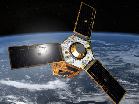
Capella Space is an Earth observation company that provides timely and reliable visibility with its Synthetic Aperture Radar (SAR) constellation. Capella is the first US company to launch and operate commercial SAR and offers the highest resolution imagery available. Capella Space developed airborne and spaceborne prototypes to revolutionize synthetic aperture radar. In 2020 Capella launched “Sequoia”, later renamed Capella-2, the first US commercial mission to provide very high-resolution SAR imagery. So far, Capella Space has a constellation of 7 SAR satellites.


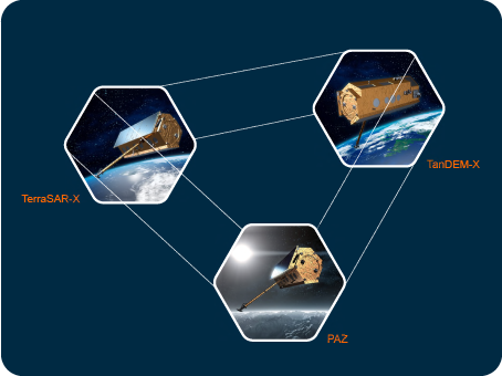
Airbus offers proprietary satellite imagery and geospatial analytics to decision-makers and analysts across multiple industries who require an accurate and remote view of our changing planet. Their images and data are as diverse as their customers' needs – whether you're looking for broad coverage, fine detail, intensive monitoring, premium reactivity, timely image acquisition, or extensive archives – they have the right solution and products.

TerraSAR-X, TanDEM-X and PAZ


Online Satellite Imagery Content Platform
See more 

Close
Online Satellite Imagery Content Platforms allow easy, safe, and fast access to observation and terrestrial intelligence. With a subscription that allows you to pay only for what you use; this service represents a more modern and accessible option for geospatial information users.
“Connect images from space with decisions on Earth”.
“Connect images from space with decisions on Earth”.
Benefits:
- Make timely and informed decisions.
- Take advantage of 20 years of stock footage plus recent acquisitions uploaded to the server every day.
- Easily access shortwave infrared images and stereo pairs.
- Increase efficiency with frequent updates.
- Reduce programming costs and order processing times with the availability of images: choose your area of interest and request it instantly.
- Get on-demand access through your GIS tool to extract only the information you need.
- Access the metadata of the collections: natural color, orthorectified images, and mosaics available for offline use.
- Enjoy privacy when using the servers.

Maxar is a leading space technology and intelligence company. Maxar partners with innovative companies and more than 50 governments to monitor global change, deliver broadband communications, and advance space operations with capabilities in space infrastructure and ground intelligence. You've probably seen or used Maxar's abilities, even without knowing where they came from.

SecureWatch
A SecureWatch subscription gives you on-demand access to the world's most recent high-accuracy, high-resolution satellite imagery, and analytics.
Characteristics
- More than 125 petabytes of the highest quality imagery—including up to 30 cm resolution and 4 m CE90 accuracy
- Coverage at 50 cm resolution or better worldwide, including global denied areas
- More than 3.8 million sq km of new imagery is added every day, over the areas that matter most
- Simple APIs, OGC streaming services, web interface, and GIS integrations via convenient subscription options

Airbus offers proprietary satellite imagery and geospatial analytics to decision-makers and analysts across multiple industries who require an accurate and remote view of our changing planet. Their images and data are as diverse as their customers' needs – whether you're looking for broad coverage, fine detail, intensive monitoring, premium reactivity, timely image acquisition, or extensive archives – they have the right solution and products.

OneAtlas
OneAtlas Data is a single place for quick and easy access to up-to-date images and layers. Based on the Airbus satellite constellation, partner satellites, and open-source data, OneAtlas Data enables imagery to be delivered in multiple and flexible ways: via streaming, download, or API.
Imagery - Living library
Quick and easy access to premium Airbus images in multiple viewing and download formats.
Access more than two years of high-resolution images available in the cloud, updated daily.
Access more than two years of high-resolution images available in the cloud, updated daily.
BENEFITS
- Quickly access the data you need with a simple click.
- Daily Updated and immediately accessible.
- Pay only for what you need - no minimum order.
- Multiple downloads and display format options with API integration.
Imagery – One Tasking
Access the One Tasking service and take advantage of a new intuitive interface that allows you to carry out programming in just a few steps.
Thirty years ago, Airbus was the first to offer satellite programming services, revolutionizing the satellite imagery market. Today, with One Tasking, they are committed to delivering new image collections when and where the customer needs them - directly from OneAtlas!
Thirty years ago, Airbus was the first to offer satellite programming services, revolutionizing the satellite imagery market. Today, with One Tasking, they are committed to delivering new image collections when and where the customer needs them - directly from OneAtlas!
BENEFITS
- The best option to maximize the success of your collection campaign
- Flexible sensors, superior availability for lightning-fast delivery
- Simplified offer to streamline the ordering process for all satellites and sales channels
- 24/7 access
- Powerful schedule task tracking that allows customers to accept or reject proposed images and track their acquisition progress
- Ability to stream and download your image from your dedicated workspace in OneAtlas
- Access via the OneAtlas API or web interface
Analysis – Earth Monitor / Analytics Toolbox
With the Analytics Toolbox, choose from skilled and qualified algorithms to easily highlight changes or objects directly in the Living Library interface. Choose the image and what you want to detect and run your analysis with ease!
Use analytics suite updated and enhanced frequently, play with your images to extract insights at your fingertips, and access new potentials. Take your Living Library images further with this powerful service, accessible through an online interface or API.
Use analytics suite updated and enhanced frequently, play with your images to extract insights at your fingertips, and access new potentials. Take your Living Library images further with this powerful service, accessible through an online interface or API.
BENEFITS
- Infrastructure change detection.
- Cars Detection and counting.
- Trucks Detection and counting.
- Ships Detection and counting.
- Aircraft detection and counting (coming soon).
- Accessible via the web interface or API.
Layers – Basemap
OneAtlas Basemap gives you the most trusted context anywhere in the world. This world layer is made from our highest-grade satellite imagery and is constantly updated.
It fits seamlessly into workflows: you can stream it to your GIS, access it through our API, or download it to your own system.
Monitor your areas of interest over time with an analytics solution, focusing on infrastructure or land-use changes and activity level measurement through vehicle counting (i.e., cars, trucks, military, and commercial aircraft) based on archive imagery and Airbus new tasking capability.
BENEFITS
- Performance: Use a powerful and automated 24/7 service in a trusted ecosystem
- Reliability: ensure regular observations of your areas of interest
- Efficiency: Obtain geospatial information easily and automatically
- Flexibility: run and exploit your analyzes autonomously through an advanced and powerful user interface.
WorldDEM™ Visualization
Complete pole-to-pole coverage coupled with unmatched accuracy and quality are the defining characteristics of WorldDEM™.
OneAtlas grants global access to WorldDEM and WorldDEM4Ortho via streaming for 3D analysis and generation of value-added information.
OneAtlas grants global access to WorldDEM and WorldDEM4Ortho via streaming for 3D analysis and generation of value-added information.
